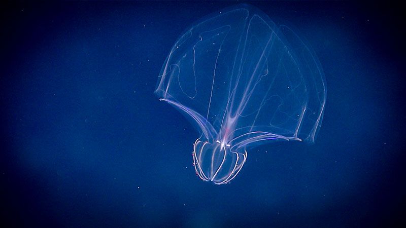

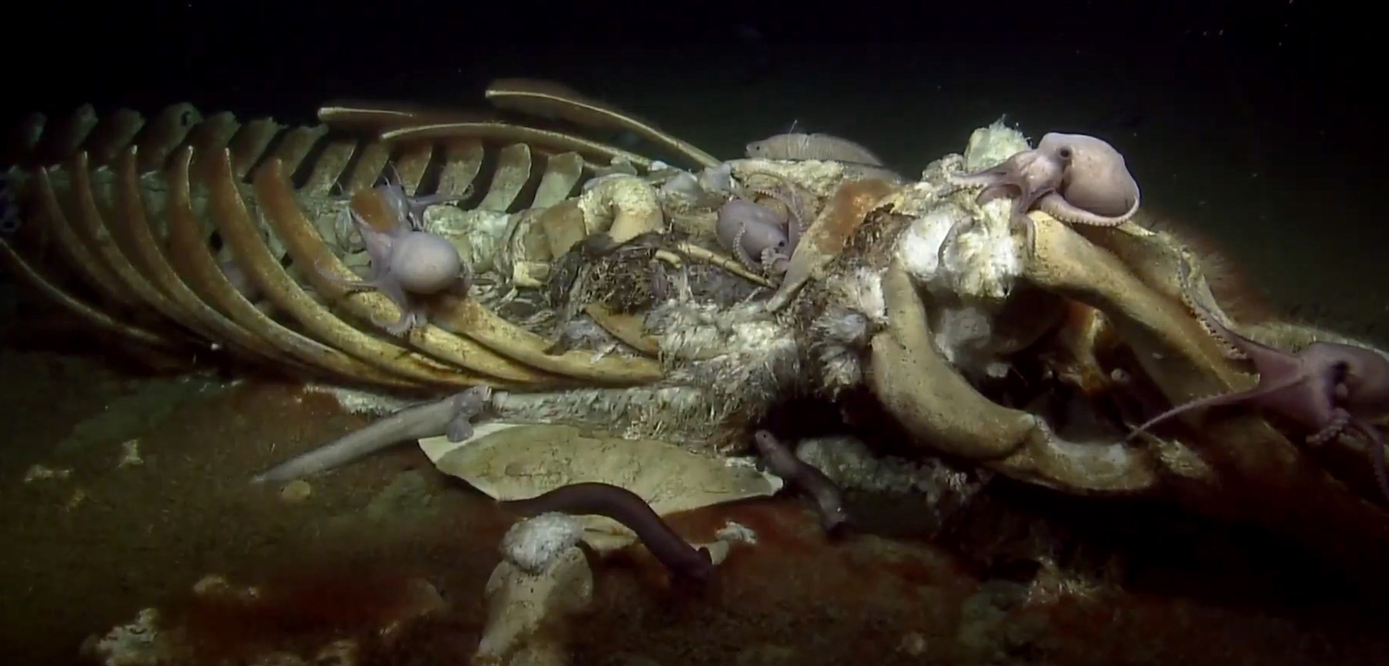
California Has a Huge Whale Graveyard off the Coast. And That’s Not a Terrible Thing.
Whale falls offer scientists a treasure trove of information about life in the deep ocean. Microbiologist Jeffery Marlow talks about the importance of microbes.
Popular Features
The California Supervolcano You Can Visit...and Other Amazing Geologic Attractions
Supervolcanoes, Hot Springs, Fumaroles, Yellow Lakes, and Other Geologic Wonders of Mammoth Lakes
Read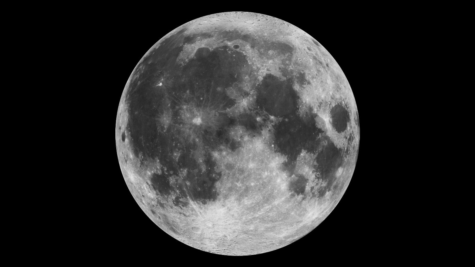
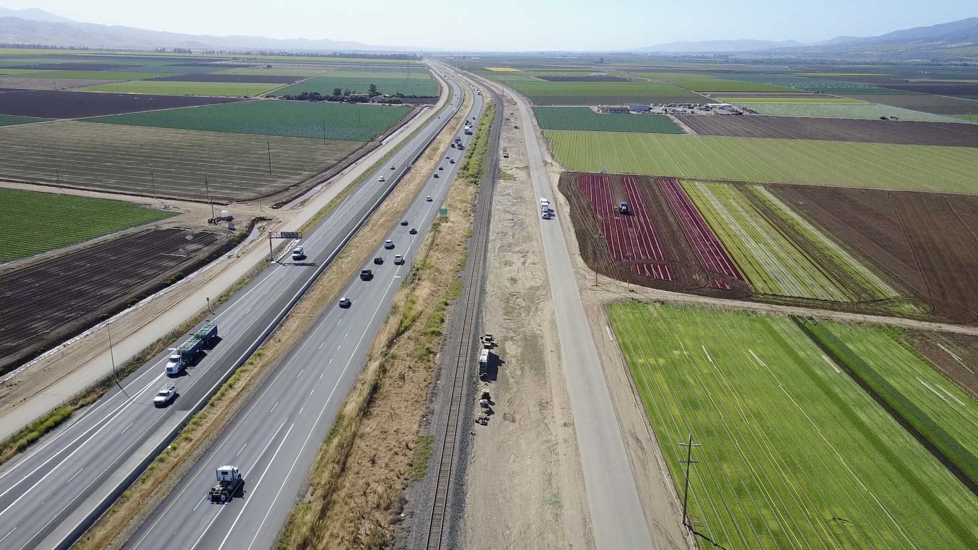
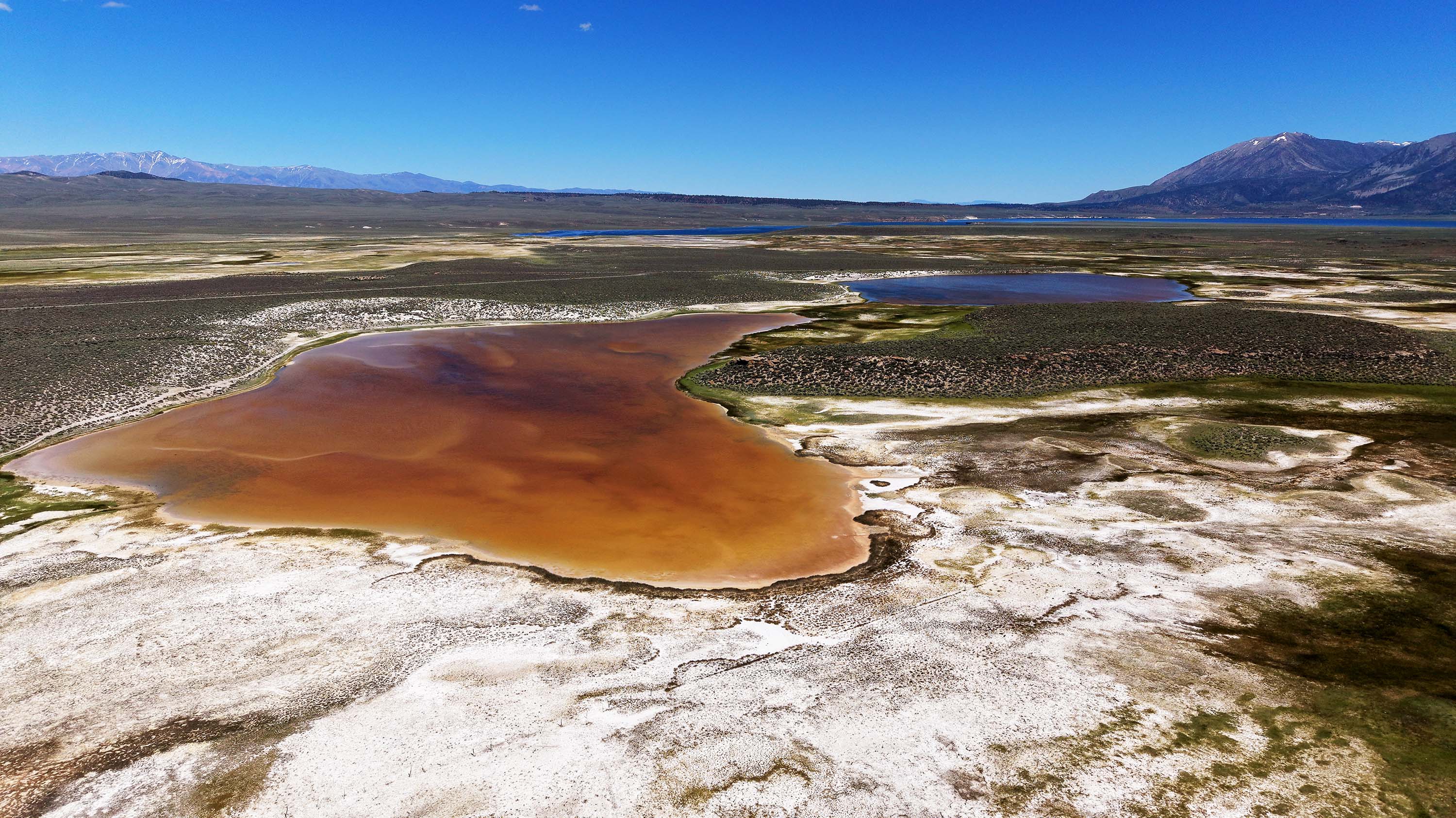
The Moon May Help Drive California’s Next Flooding Crisis
An 18.6-year lunar cycle is expected to amplify tides just as rising seas push more of California’s coastline toward flooding thresholds.
Read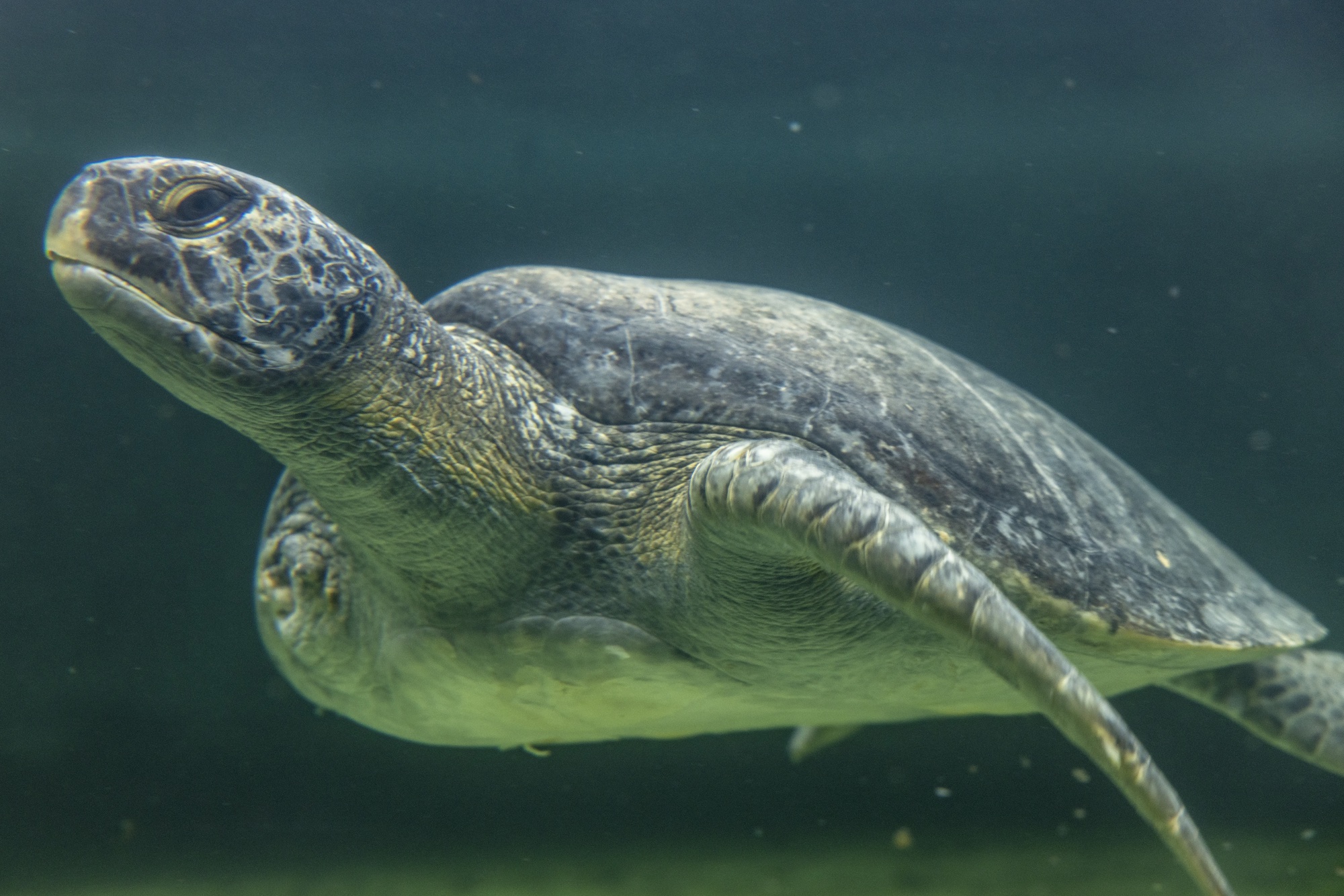
Sea Turtles Are Thriving in a Concrete River in Los Angeles
A threatened population of green sea turtles is thriving in the concrete channels of the San Gabriel River in Long Beach.
Read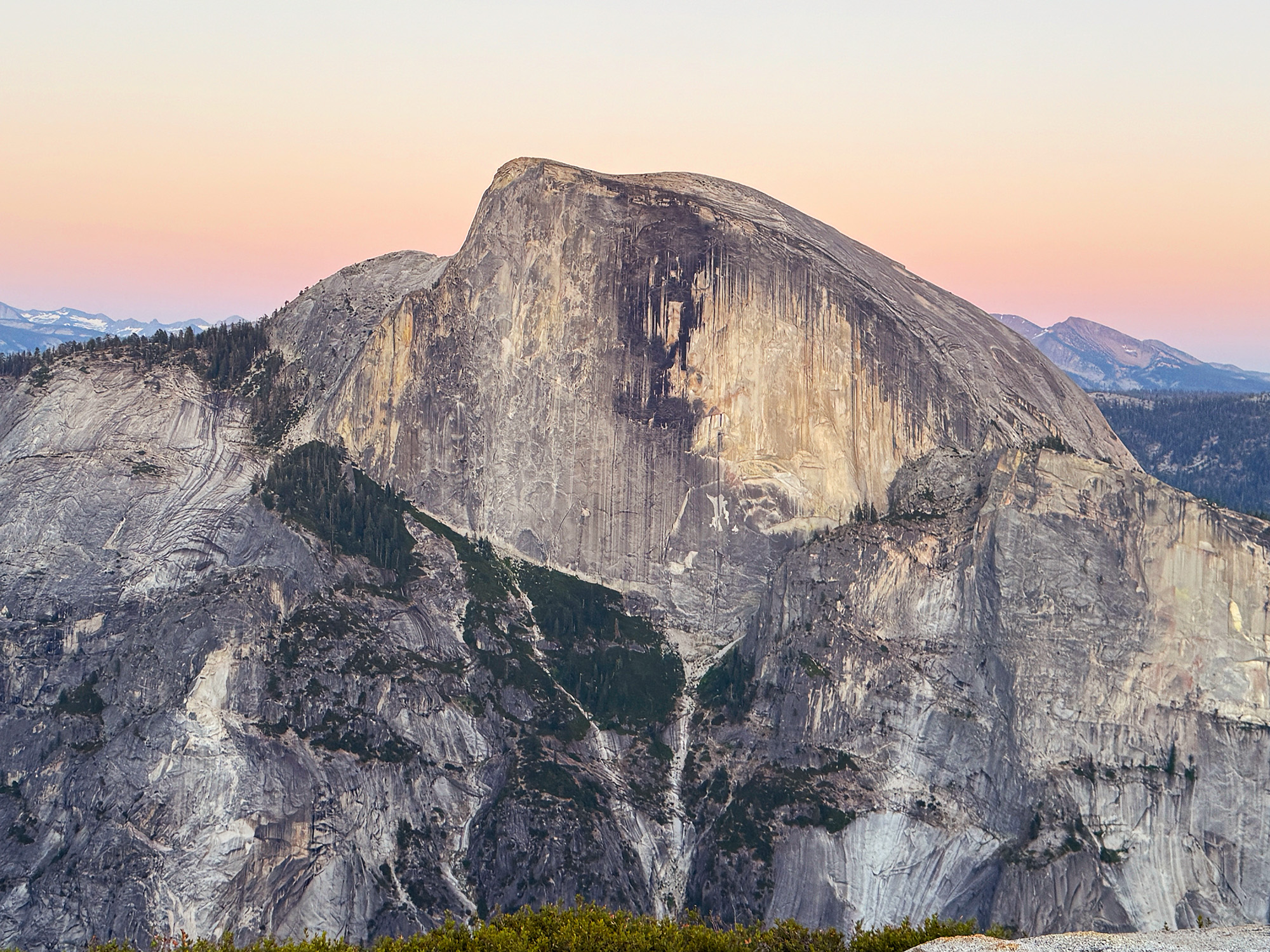
The Walls of Yosemite Are Coming Down
Exfoliation helped create Yosemite’s famous rounded granite domes and continues to peel the cliffs apart in massive sheets of rock.
Read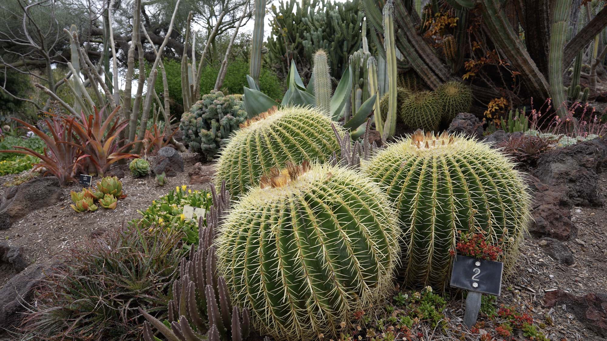
Inside The Huntington’s Extraordinary Succulent Garden
At The Huntington, one of the world’s great succulent collections reveals how plants from some of Earth’s harshest climates evolved to survive, even as many species face threats from plant theft.
Read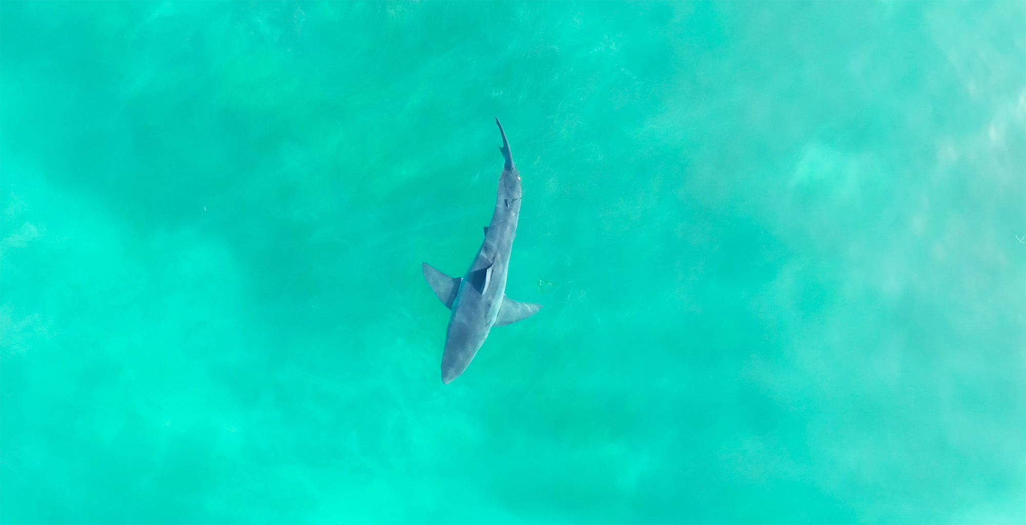
It’s Going to Be a Sharky Summer. Here’s Why That’s Okay.
Shark populations are rebounding along California’s coast, and the risks may be far lower than people think, says Chris Lowe, the director of the Shark Lab at Cal State Long Beach.
ReadOn our radar
California Science and Nature News
Updated 1m ago
-
Road, parking lot and restrooms at Point Dume Beach closed due to 'extreme erosion'
Los Angeles Times · 7h ago
-
Famed Big Bear eagle Jackie remains 'very sick' as malady remains a mystery
Los Angeles Times · 17h ago
-
The percentage of homes surviving California wildfires is dropping, despite efforts to harden them
Los Angeles Times · 1d ago
-
Massive 'scale-breaking' catfish caught in Southern California lake; 'Catzilla' still on the loose
Los Angeles Times · 2d ago
-
Pilot ejects before F-35 jet crash at U.S. Marine Corps' Miramar air base in San Diego
Los Angeles Times · 2d ago
-
New microscope captures tiny details at unprecedented speeds
UC Berkeley News · 2d ago
-
Trump administration spares Southwest from harshest water cuts in new Colorado River plan
Los Angeles Times · 2d ago
-
Worst of brutal SoCal heat wave is here: How long will it last? How bad will it be?
Los Angeles Times · 2d ago