How Smart Policy and Collaboration Brought Groundfish Back From the Brink

Recently, I wrote a more personal essay than I usually would, one in which I reflected on the state of overfishing globally and the broader exploitation of our oceans.I hoped to draw attention to the new National Geographic documentary Oceans, featuring David Attenborough, which paints a broad and dire picture of the heath of the oceans and global fisheries…and it didn’t even cover deep sea mining which is a whole other megillah.
I’ve been following ocean conservation issues for decades, I’ve done numerous stories on the subject for major publications, and I’m deeply aware of the many threats facing the sea. These challenges extend to human society, too. Climate change, pollution, political instability, and species loss are just a few of the crises that fill our doom-scrolling feeds every day.
But not everything is lost.
Despite the scale of these problems, there are reasons for hope. Around the world, we are beginning to better manage some of our natural resources. There is growing awareness about how to extract from the planet in ways that do not destroy it. Slowly, we are learning how to sustain a growing, hungry population without collapsing the ecosystems we rely on. At least, that’s the hope. If you look around a bit, there are a few positive signs. I cited California’s Marine Protected Area program, but there are others.
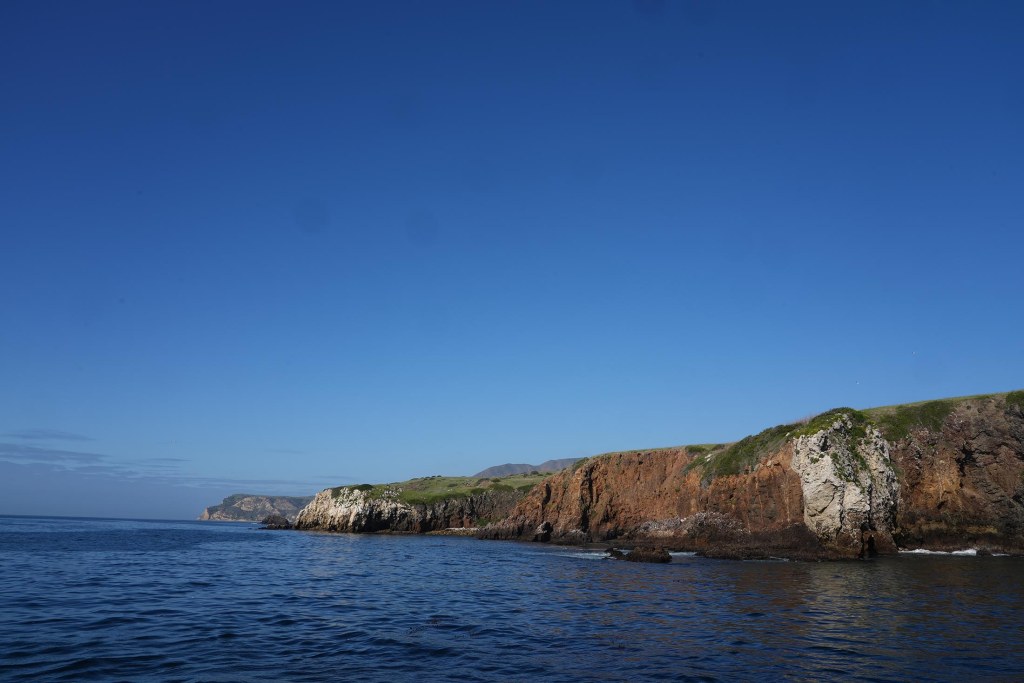
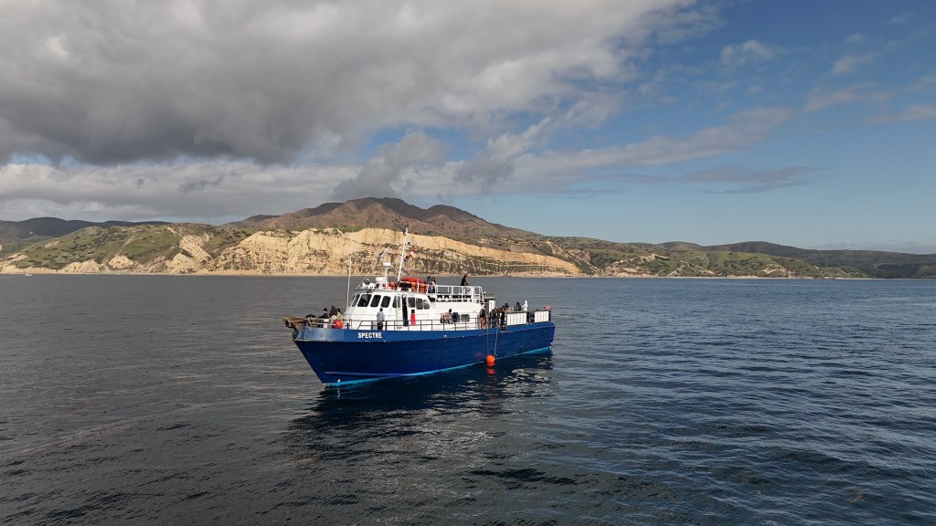
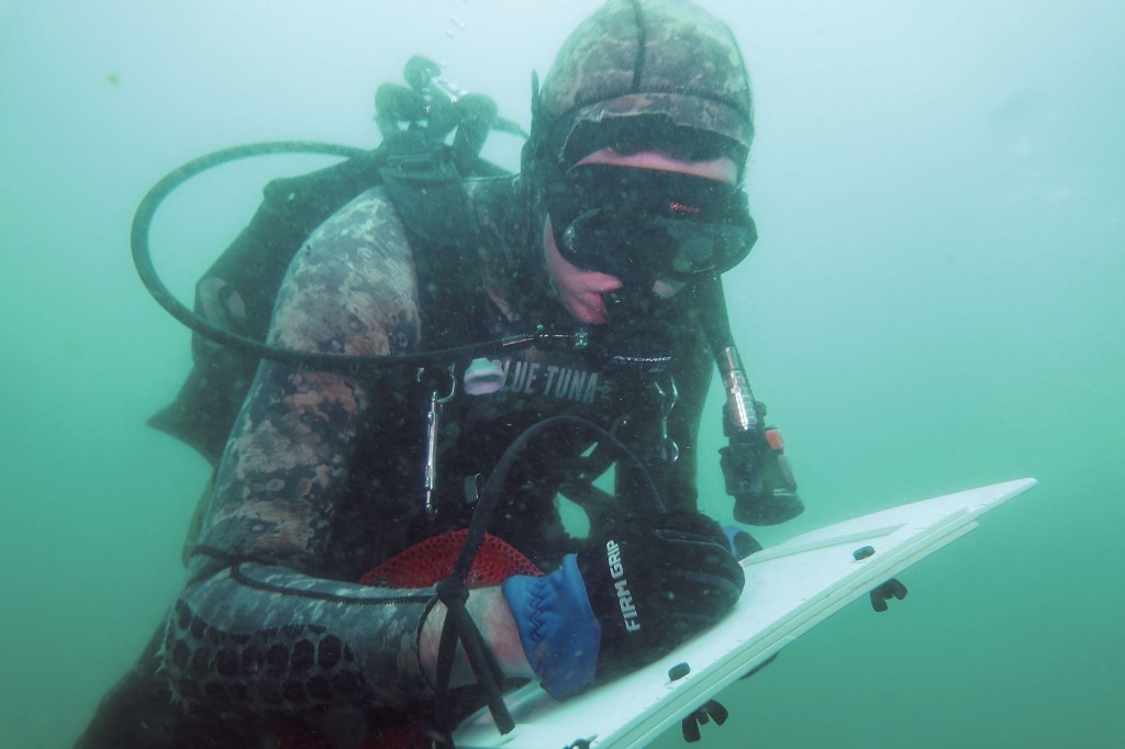
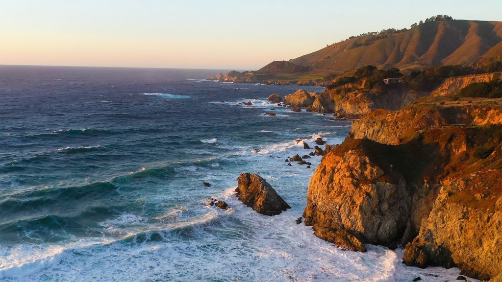
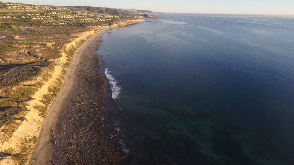
Another particularly hopeful development is unfolding just off the coast of California.
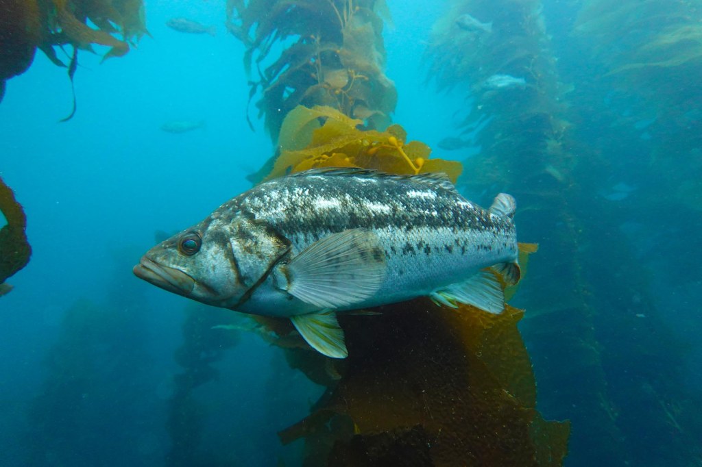
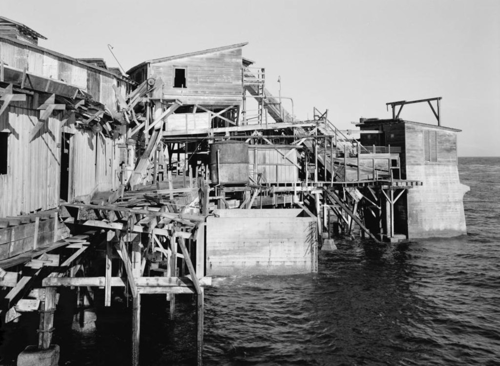
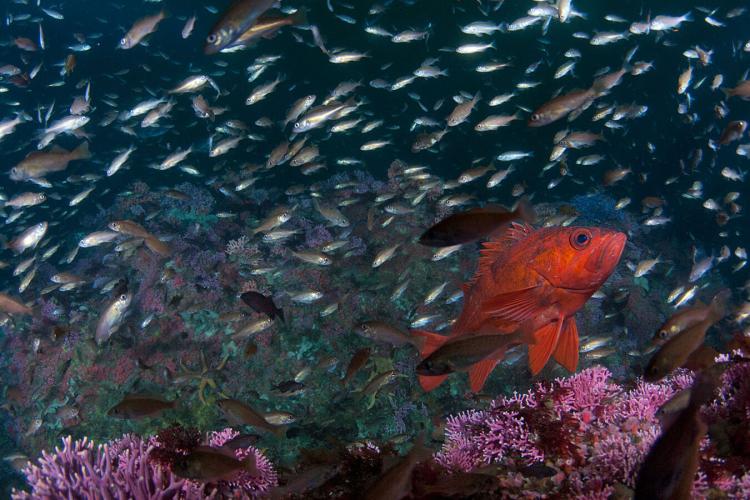
The story of groundfish in California and the West Coast is one of collapse, struggle, rebirth, as well as evolving policy. Following passage of the Magnuson-Stevens Fishery Conservation and Management Act in 1976, which was supposed to help the fishery by banning foreign commercial fishing, between 1976 and 1979, the West Coast groundfish fleet tripled in size, growing from about 300 to nearly 1,000 vessels. New technologies made those boats far more effective. By the mid-1980s, about half the fleet could electronically track their fishing paths and return to the same productive grounds again and again. Sophisticated fishfinders like the “Chromascope” gave vessels an unprecedented edge.
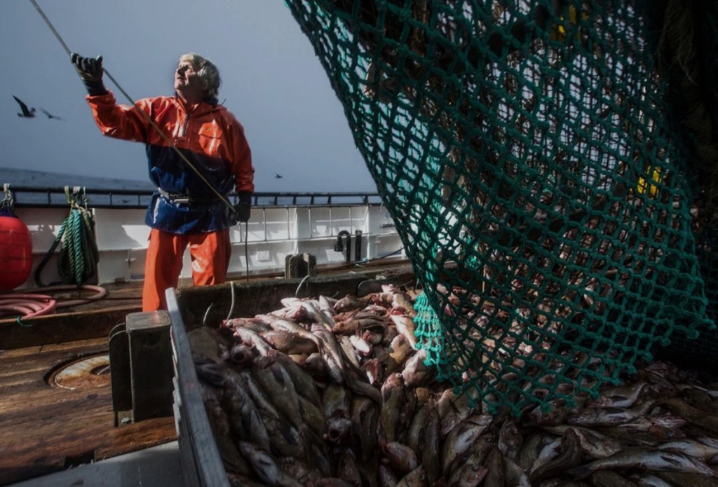
Groundfish catch soared. In 1976, domestic harvests (excluding Pacific whiting) totaled around 57,000 tons. By 1982, that number had more than doubled to 119,000 tons. Rockfish, barely counted in the earlier fishery, made up more than 40,000 tons of the catch by that year alone.
But the science hadn’t caught up.
Fishery managers at the time didn’t fully understand how slowly groundfish grow, how long they live, or how vulnerable they are to overfishing. As a result, catch limits were set too high. The boom quickly gave way to collapse.
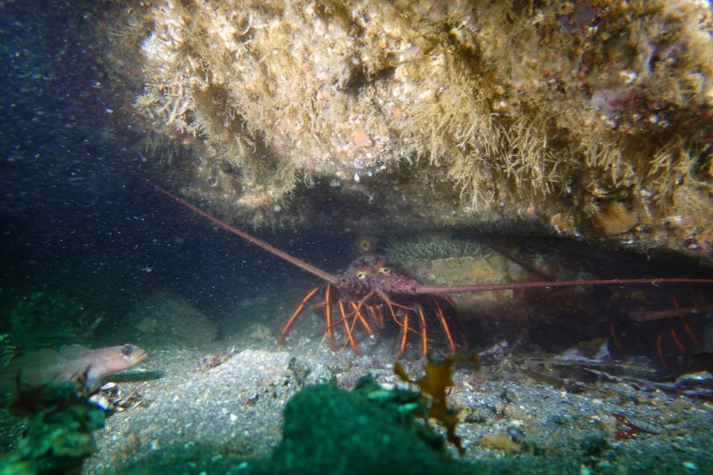
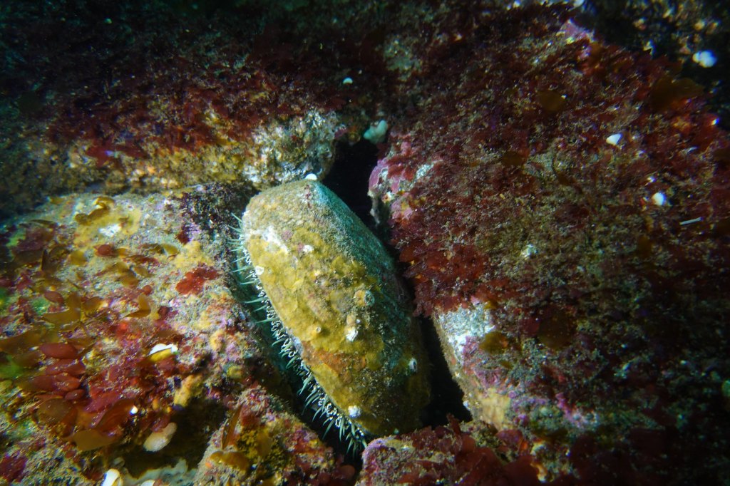
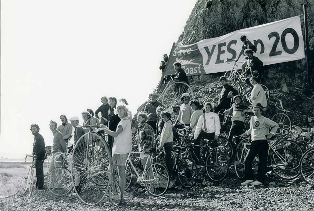
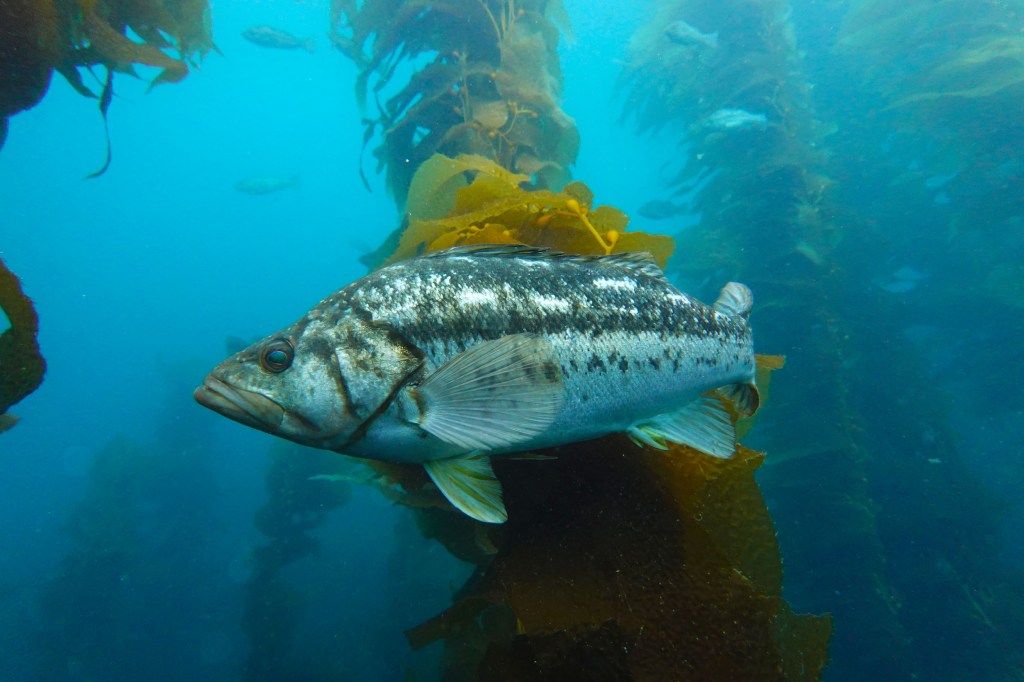
In the late 1990s and early 2000s, rockfish, bocaccio, Pacific ocean perch and other deep‑dwelling species teetered on collapse. Overfishing, excessive trawling, and habitat damage from bottom nets stripped populations across hundreds of miles of West Coast shelf. Regulators sounded the alarm and declared fishery disasters.
Kenneth Weiss wrote in the Los Angeles Times, “Behind the sweeping action is a reluctant realization that the vast ocean has limits and cannot, as was long believed, provide an inexhaustible supply of fish.” Ya think?
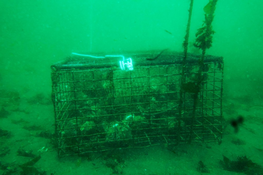
To halt the decline, Congress and managers took bold, controversial steps. In 2003 a $46 million vessel‐buyback reduced the commercial trawl fleet by one‑third; by 2011 only about 108 vessels remained. That same year, the Pacific Fishery Management Council launched the groundbreaking Trawl Catch Share Program: individual fishing quotas based on historical catch and mandatory onboard observers. Within a year, discard rates plummeted from roughly 25 percent to below 5 percent.

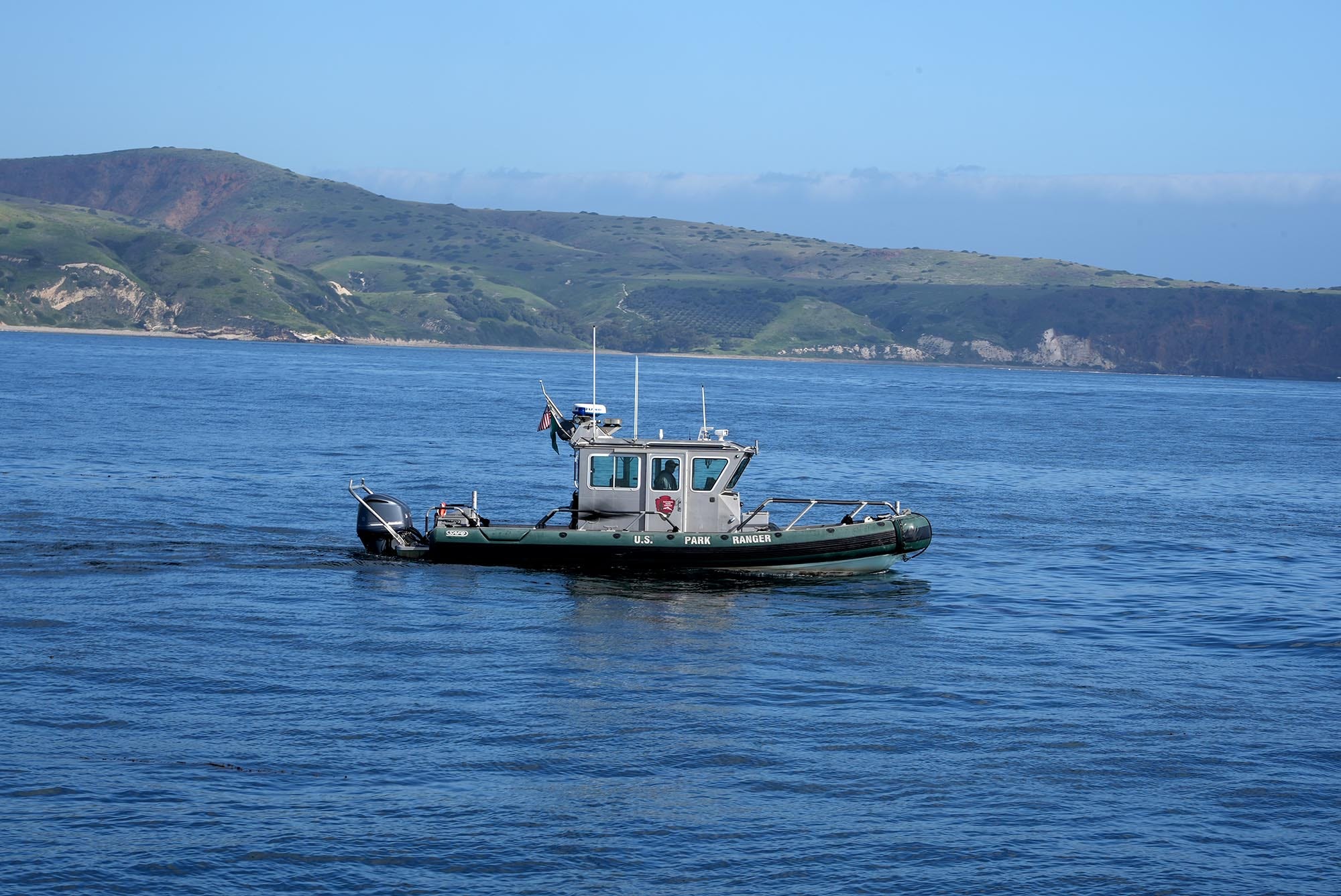
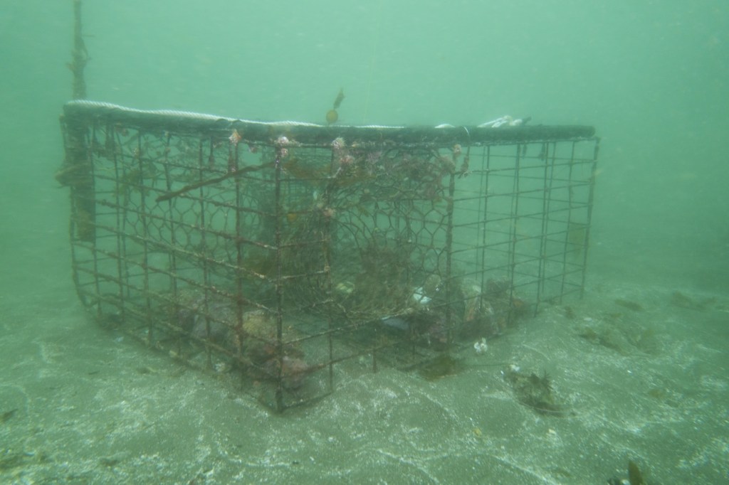
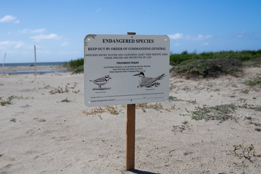
In fact, California law explicitly prohibits bottom trawling in its state waters except under very limited conditions. Fish and Game Code § 8841 makes bottom trawling unlawful in state ocean waters unless a state commission determines that it is sustainable and low-impact. According to NOAA, commercial bottom trawling is only permitted within the California Halibut Trawl Grounds (CHTG), a small coastal zone from roughly 1 to 3 nautical miles offshore between Point Arguello and Point Mugu.

There are gear restrictions, including bans on roller gear larger than eight inches and a requirement for bycatch reduction devices in shrimp and prawn trawl fisheries. Bycatch is nothing but pure waste, bordering on evil, and reducing it or stopping altogether should be a goal. The state also pushes more sustainable gear types and has phased out new permits for trawlers.
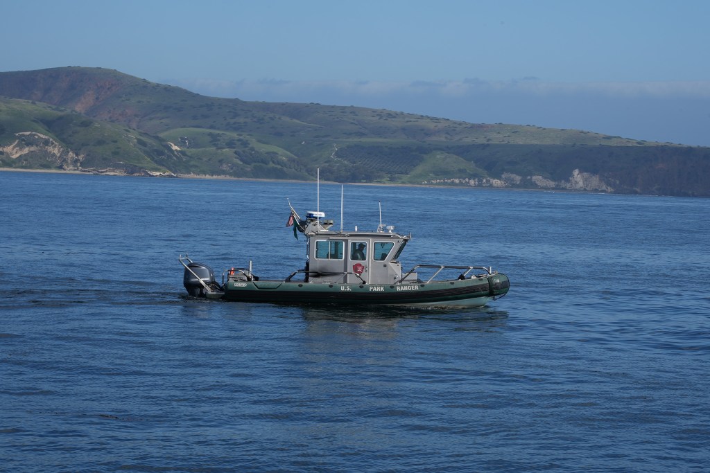
At the same time, an extensive system of area closures was put in place. As the documentary points out, if you protect a habitat, it can recover, and we’ve seen that in places like the Channel Islands. Since the early 2000s, Rockfish Conservation Areas and Cowcod Conservation Areas have helped protect critical habitat. Then, in 2020, new federal rules expanded essential fish habitat protections, closing nearly 90 percent of the seafloor off California, Oregon, and Washington to bottom trawling.
Fast forward: these measures have worked! By the mid‑2010s, most of the over‑90 managed groundfish stocks were recovering or rebuilt, some years ahead of earlier projections. Pacific ocean perch, for instance, had been declared rebuilt in 2017 after 17 years under rebuilding plans. The fishery earned sustainability certification from the Marine Stewardship Council in 2014. Today, only yelloweye rockfish remains overfished, with rebuilding projected by 2029.

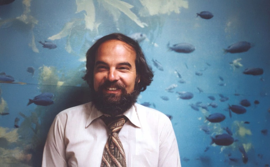
According to John Field, who leads the Fisheries and Ecosystem Oceanography Team at NOAA’s Southwest Fisheries Science Center, this turnaround didn’t happen by accident. “The fleet, the scientists, the managers, and everyone else saw there was a serious problem, and worked together to make difficult choices and rebuild populations,” Field told California Curated. “The solution required restructuring the fishery to conserve the species, with many tough years for the fleet. Although the groundfish fishery still faces many challenges, most populations are thriving, market demand is recovering, and there is more domestic seafood on American dinner plates.”
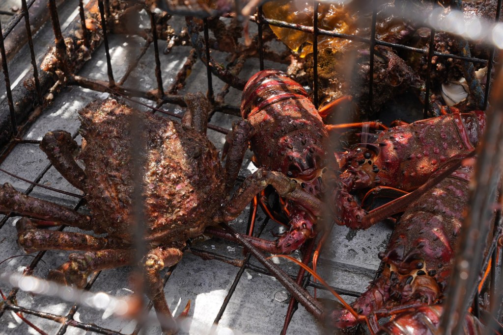
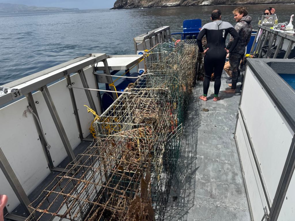
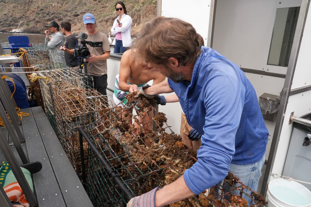
Equipment and methods have evolved. Vessels switched from race‑to‑fish trawls to quota‑based systems, often fishing more selectively using non‑trawl fixed gear, longline, pots, hook‑and‑line for sablefish and flatfish. Electronic monitoring and observer programs help track catches closely (you gotta have enforcement).
Not all this has been smooth sailing. The shift to quotas and catch shares was controversial: many fishermen struggled with limited quotas, economic hardship, and uncertainty. Communities dependent on processors shrank as processors closed or consolidated. Some fishermen under‑caught allowable species to avoid hitting rockfish caps. Environmental groups have cautiously welcomed reopenings, but some expressed concerns that habitat recovery might still be fragile.
So, looking back (and forward): policies over the past two decades, from trawl‐fleet reduction, gear rules, catch shares, quotas, habitat closures and strict rebuilding plans, not to mention MPAs, have turned the tide. Stocks are rebounding, many fisheries are sustainable, and management of the system is reviewed and changed if needed through amendments every two years. Of course, climate change and warming seas could render all this moot, so there’s still an element of keeping ones fingers crossed as we move forward.
This kind of drastic change takes time. And courage. And persistence. The long arc of recovery shows how science‑based regulation can bring back health to ocean ecosystems, and opportunity to coastal communities. Much of this work happens out of sight, in deep water and policy meetings alike, but its impact reaches every one of us: on our plates, in our economies, and in the resilience of the planet we all share.