You’ve surely seen those dramatic museum displays: fearsome T-Rex skulls, triceratops horns, towering brachiosaur skeletons – tangible reminders of a world with giant animals that roamed our planet millions of years ago. Some states are rich in the fossils of ancient dinosaurs. Montana, Wyoming, Utah all have rich fossil records. But not California. Very few dinosaur fossils have ever been found in the Golden State.
But why? We’ve got Hollywood, Silicon Valley, lots of oil, and the Giant Redwoods, but where are our prehistoric dinosaur residents hiding?
To understand this prehistoric puzzle, we have to venture back into the geologic past, and also consider some unique aspects of California’s geographical and geologic evolution.
Dinosaurs were mostly present during the Mesozoic Era, from about 252 million to 66 million years ago. The Mesozoic is divided into three periods: the Triassic, Jurassic, and Cretaceous. The dinosaurs reign likely ended with a massive meteorite impact that caused a mass extinction, wiping out the dinosaurs and up to 80% of life on Earth.
(There’s a cool California story related to this discovery.)
While dinosaur fossils are found around the globe, their distribution is far from even. Fossilization itself is a relatively rare event that depends on several specific conditions. Generally, fossilization requires rapid burial to protect the remains from scavengers and environmental factors, as well as a lack of oxygen to slow down decay. Over time, minerals gradually replace organic material, preserving the structure and creating a fossil, but only a small fraction of organisms ever undergo this process.
So, when a dinosaur died, its body needed to be quickly covered by sediment, like sand, mud, or volcanic ash. This prevented the remains from being scavenged or decomposed and allowed for the slow process of mineralization, where bones and teeth gradually turn to stone.
Even if these conditions were met, the resulting fossils had to survive millions of years of geologic processes, such as erosion, plate tectonics, and volcanic activity. To find dinosaur fossils today, the layers of rock in which they are embedded must be exposed at the Earth’s surface.
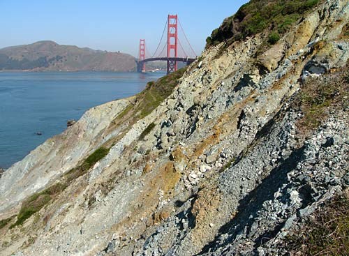
But now here’s where California’s unique geologic history comes into play. Most of the land we see today in California wasn’t even above sea level during the Mesozoic Era, instead it was submerged beneath the Pacific Ocean. Only small, scattered volcanic islands or bits of uplifted crust occasionally broke the surface, shaped by the intense movement of tectonic plates. That means there were no T. rexes or Stegosaurs ambling through Yosemite Valley…which, by the way, hadn’t even formed yet.
California’s active geology works against fossil preservation. The state sits on the boundary of tectonic plates (the Pacific and North American plates), resulting in significant geological activity including earthquakes, volcanic activity, mountain building, and erosion. These processes tend to destroy fossils rather than preserve them.
California, in the form we recognize today, is relatively new land that finally began rising out of the ocean near the end of the dinosaur age, as mountain ranges like the Sierra Nevada started to form and ancient sea basins uplifted. While these earlier conditions weren’t favorable for preserving land-dwelling dinosaur fossils, they did leave behind a rich marine fossil record, including ammonites, marine reptiles, and countless microfossils.
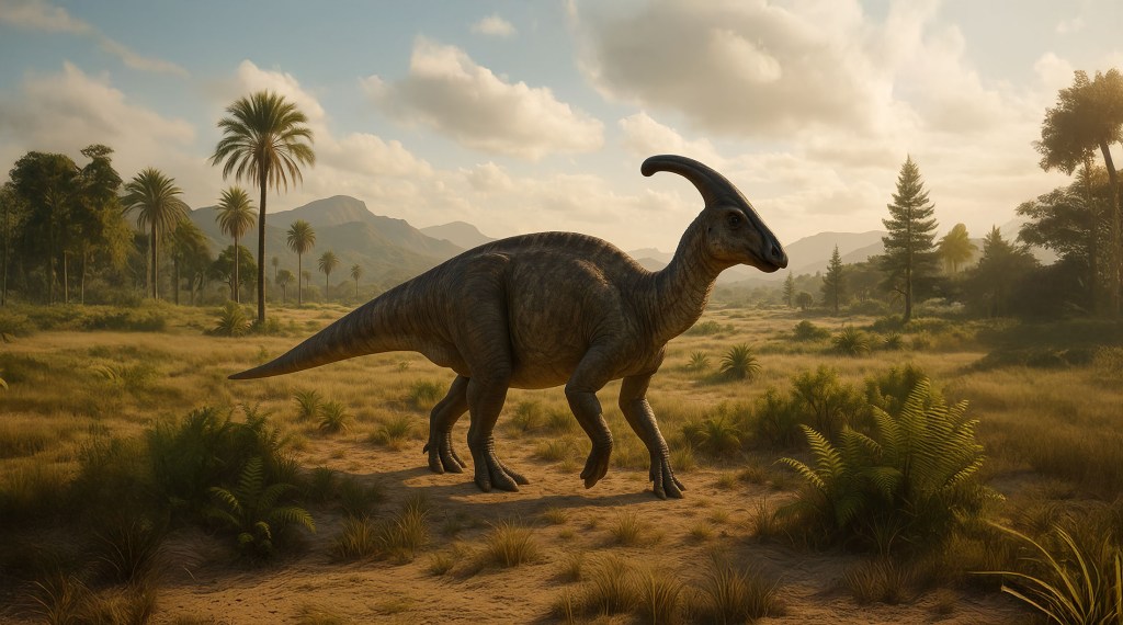
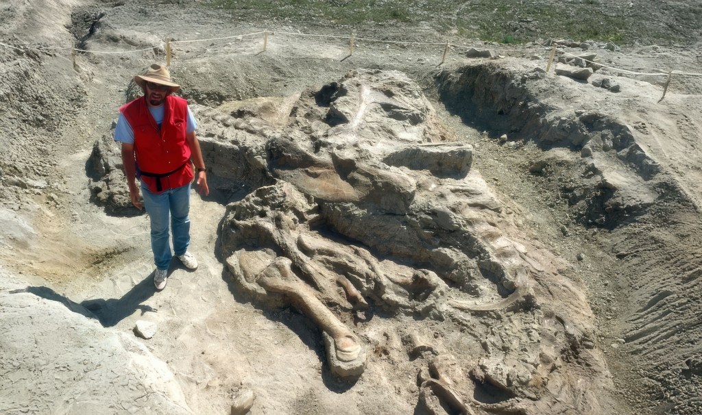
That said, there have been several discoveries of particular animals in California, representing animals much later in the dinosaur story. The majority of the dinosaur fossils found in California are the bones of hadrosaurs, duck-billed dinosaurs that lived during the Late Cretaceous period. These herbivorous dinosaurs thrived in what was once a coastal plain environment, and their remains have been uncovered in parts of California like the Point Loma Formation near San Diego, the Panoche Hills area near Fresno, and in Baja California.

While much of California was underwater during the Late Cretaceous, it was home to mosasaurs, large carnivorous marine reptiles that lived in oceans all over the world. These fearsome predators had long, streamlined bodies with powerful fins and jaws lined with sharp teeth. They hunted fish, ammonites, and possibly even other mosasaurs. Some species grew as big as modern whales and ruled the seas at the very end of the dinosaur age. Mosasaurs shared the world with creatures like Triceratops and Tyrannosaurus, but they vanished along with the dinosaurs during the mass extinction at the close of the Cretaceous. Today, paleontologists recognize mosasaur fossils by distinctive features on their skeletons, including unique muscle attachment scars and specialized bone knobs.

CALIFORNIA CURATED ART ON ETSY
Purchase stunning art prints of iconic California scenes.
Check out our Etsy store.
Back to hadrosaurs, however. There is the duck-billed plant-eater Augustynolophus, a member of the hadrosaur family, which recently was named the official state dinosaur of California. All known specimens of Augustynolophus have been found only in California, in particular the Moreno Formation in the San Joaquin Valley. Only two specimens have ever been found. The first fossil was uncovered in Fresno County in 1939. The second was discovered nearby in 1941 in San Benito County, according to the Natural History Museum of Los Angeles County website. Named after paleontologist William J. Morris and NHMLA patron Gretchen Augustyn, Augustynolophus remains one of few dinosaurs that have been discovered in the state.

As mentioned above, the action of plate tectonics, the slow but powerful movements of sections of the Earth’s crust, has significantly affected California’s fossil record. Over millions of years, California has been built from pieces of the Earth’s crust that traveled here aboard tectonic plates.
Much of the rock we see at the surface today, especially along the coast and in the western mountains, arrived during the Cenozoic Era, after the age of dinosaurs. These younger rocks, while not bearing dinosaur fossils, have yielded rich caches of mammal fossils, including creatures like saber-toothed cats, mammoths, and dire wolves, which roamed California long after the dinosaurs.
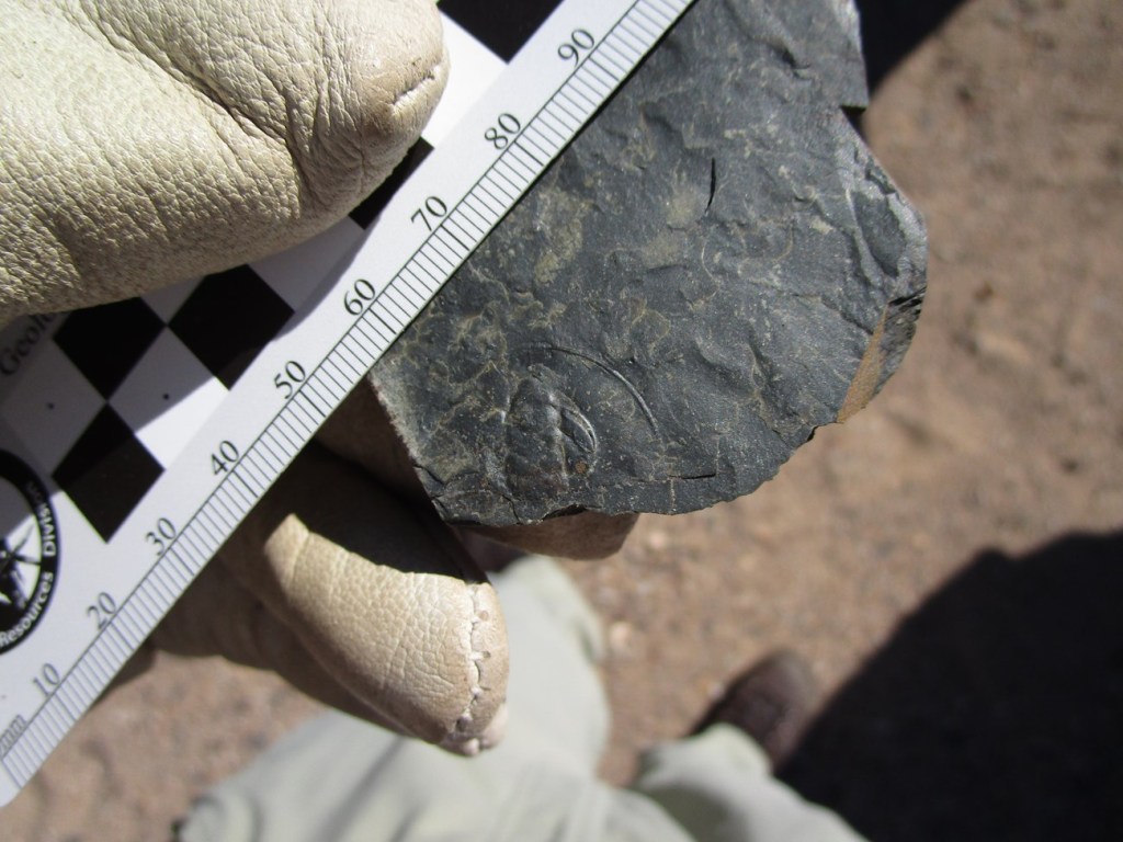
In recent years, paleontologists have begun to find more dinosaur fossils in California, albeit still far fewer than in states like Utah, Montana, or Wyoming. These discoveries, often of marine animals or those who lived near the coast, are expanding our understanding the ancient Californian landscape.

In 2022, a remarkable fossil discovery was made during a construction project at San Pedro High School in Los Angeles. The excavation revealed a massive trove of marine fossils from the Miocene Epoch, dating back around 5 to 23 million years (so, not technically dinosaur fossils). Among the finds were the remains of ancient whales, sharks, fish, and mollusks, offering a rare glimpse into Southern California’s prehistoric past when the region was submerged under a warm, shallow sea. This discovery provided paleontologists with valuable insights into the marine ecosystems that once thrived in the area.

(Wayne Bischoff / Envicom Corp.)
In addition to the marine fossils, a few terrestrial remains were also uncovered, hinting at a nearby coastline that once supported a variety of land animals. The discovery of such well-preserved fossils captured the attention of scientists and the local community alike, briefly turning the San Pedro High School campus into an unexpected center of scientific excitement. For students and residents, the find offered a cool reminder of the ancient worlds buried just beneath their everyday lives.
While California’s record of dinosaur fossils is relatively sparse, its mammal fossil record is nothing short of astonishing. Sites like the La Brea Tar Pits in Los Angeles preserve an incredible array of Ice Age mammals, from saber-toothed cats and mammoths to giant ground sloths. These fossils provide an unparalleled window into the vibrant ecosystems that thrived long after the age of dinosaurs ended, showcasing California’s rich and varied prehistoric past.

While it might be tempting to feel a little disappointed that California doesn’t have an abundance of dinosaur fossils, that’s simply the way the landscape evolved. But there’s still plenty to celebrate. California’s unique geologic past has produced a vibrant fossil record of other ancient life — from towering prehistoric sequoias to tiny, long-lost plankton. Every fossil, big or small, offers a glimpse into the rich, complicated, and ever-changing story of this remarkable place we call California.